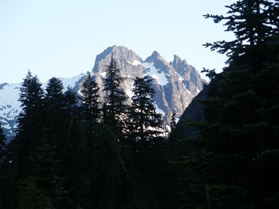
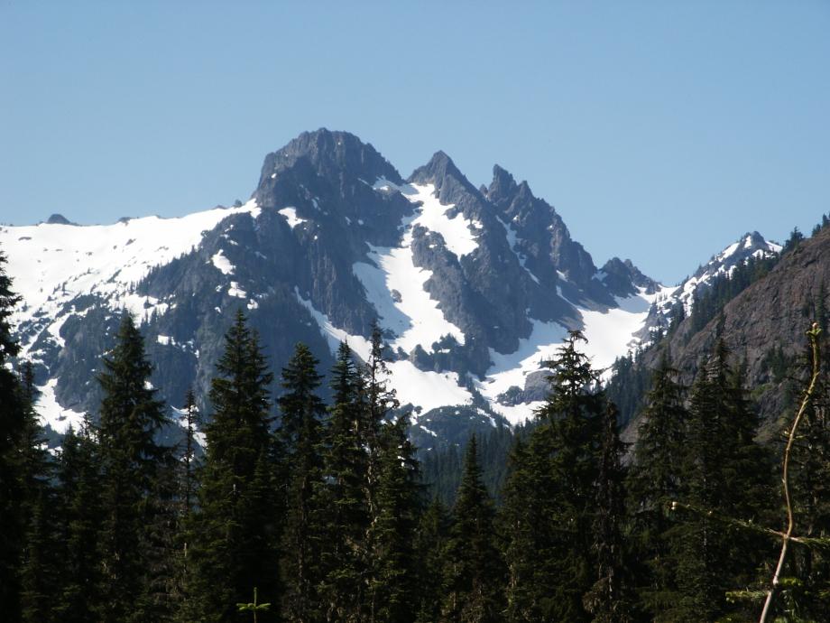
Klenke (http://www.summitpost.org/mountain/rock/152893/chimney-rock.html) says "Chimney Rock is a Man-Mountain - not to be trifled with". Well,
I guess Russ Kelley, his girlfriend Anita, and I were trifling, because we never even made it to the base of the
pinnacle! Too much snow on June 24th this year - we lost the trail once (at only 3000 ft elevation), and the "climbers path" approach beyond the creek is a bear - steep, with only a faint intermittent track and flagging to guide you around buttresses. Klenke's approach description, while very helpful, doesn't really
give a good idea of the routefinding difficulties.
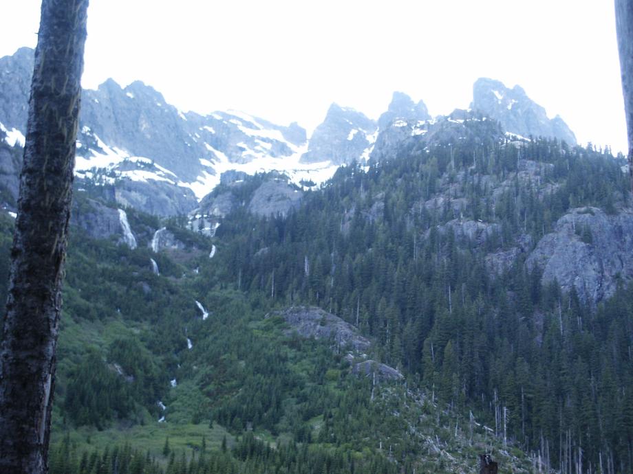
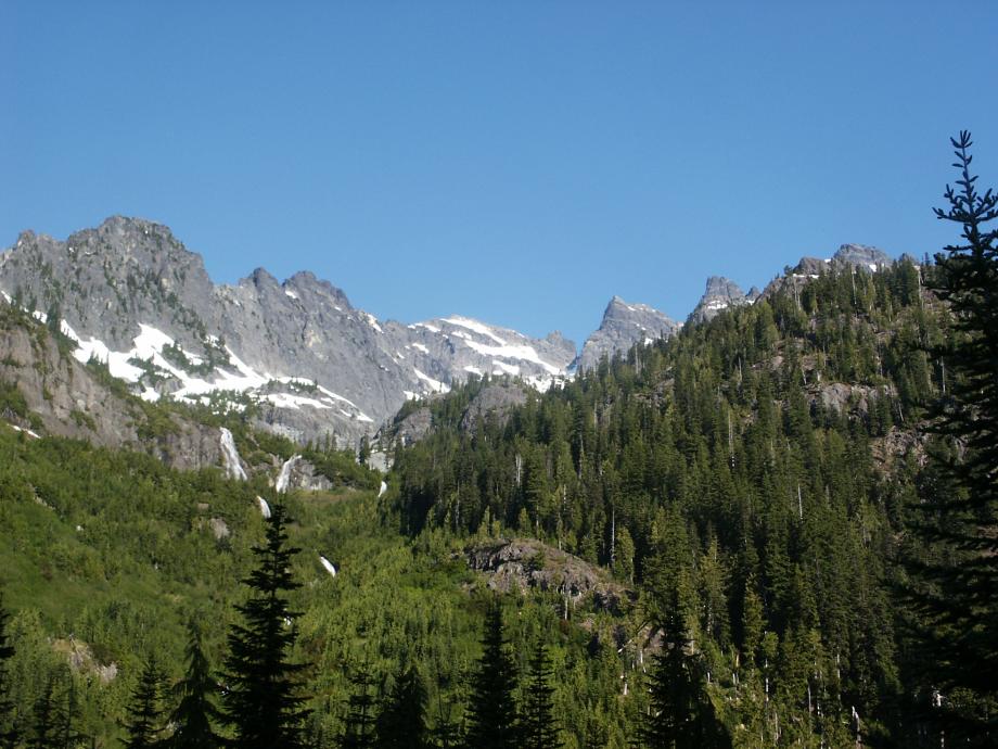
Despite the difficulty of the approach, you really should struggle overnight gear up to the bivvy basin below the glacier.
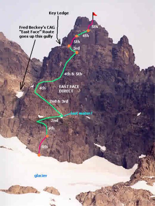
We took consolation in the fact that the route on the pinnacle probably wasn't climbable without snow pro anyway, as the 3rd and 4th pitches were mostly snowed up.
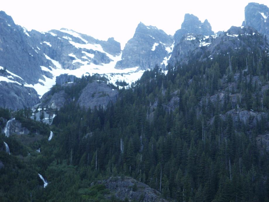
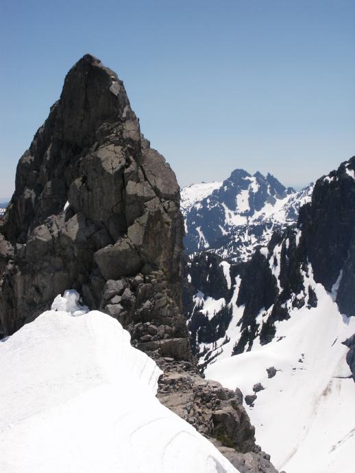
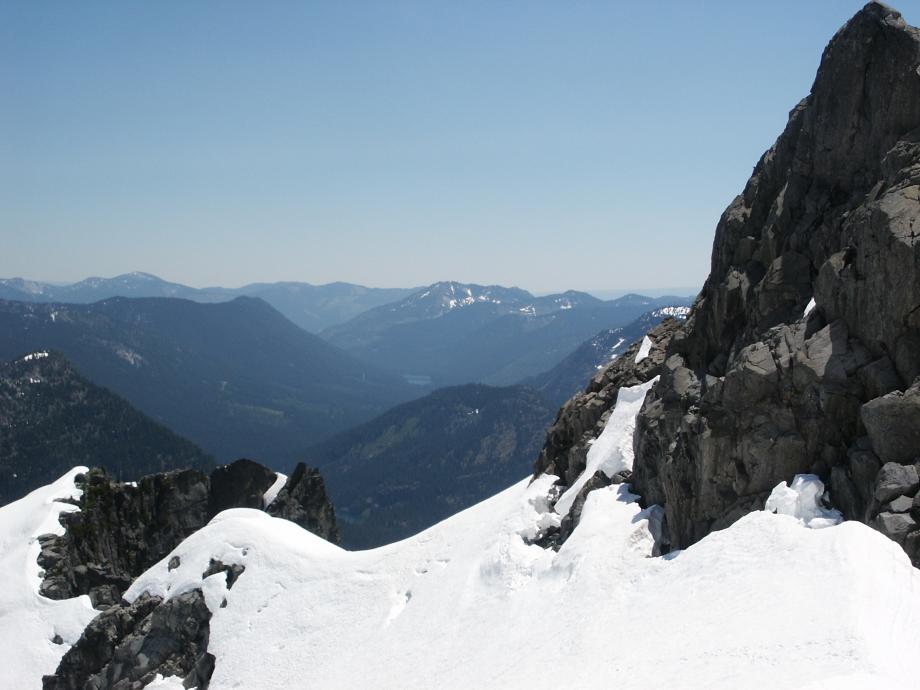
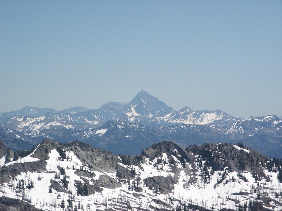
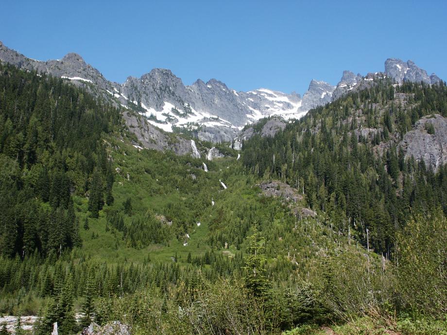
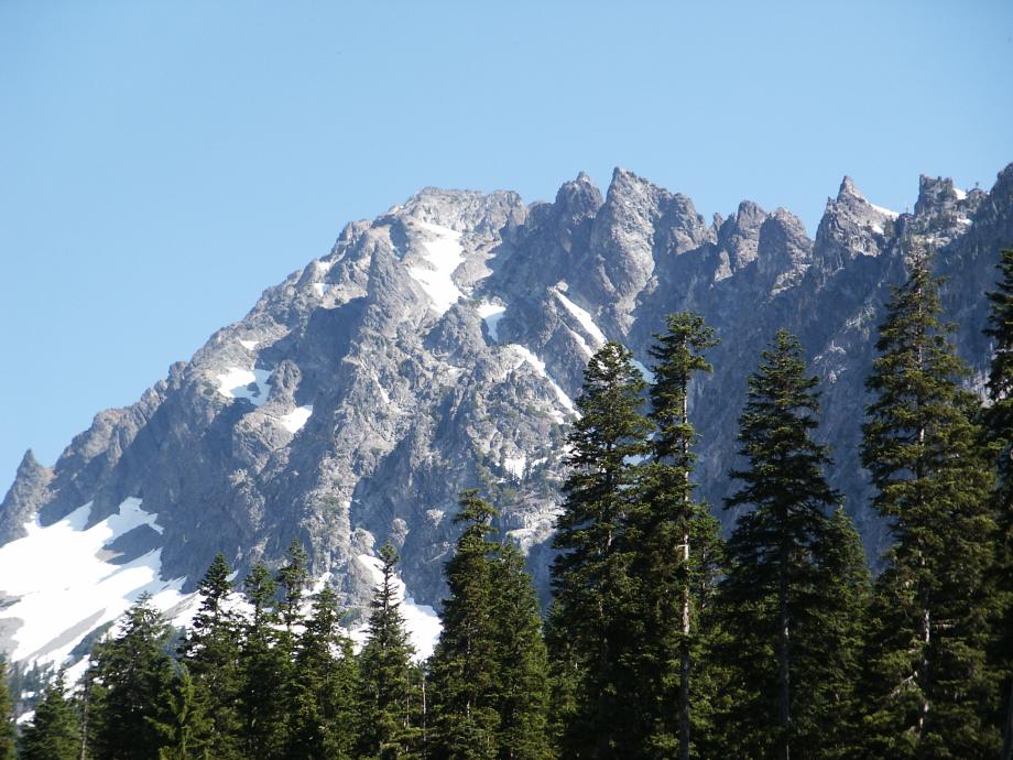
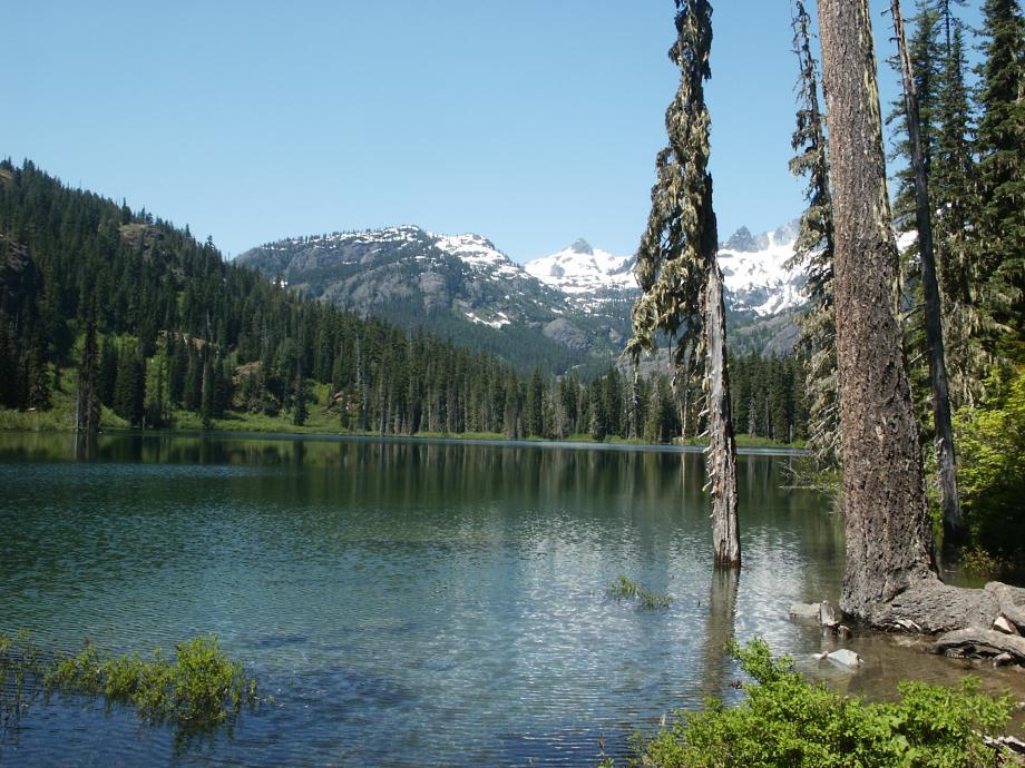
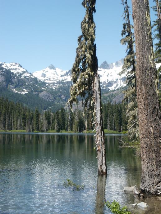
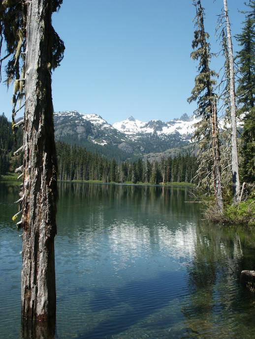
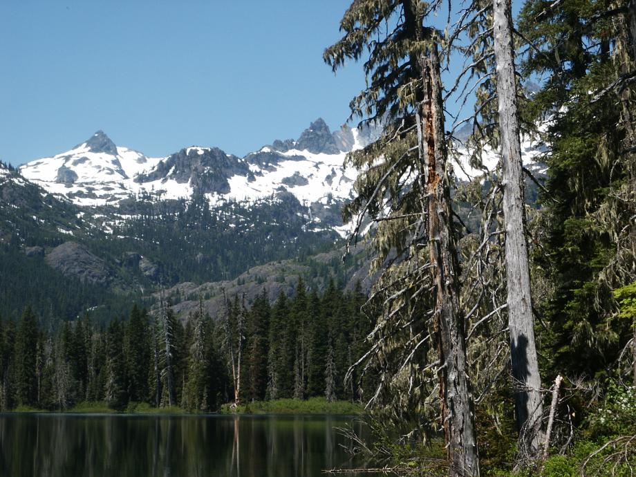
But who cares - it's a gorgeous alpine setting!
Approach clues:
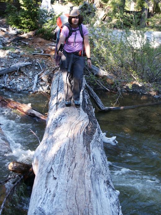
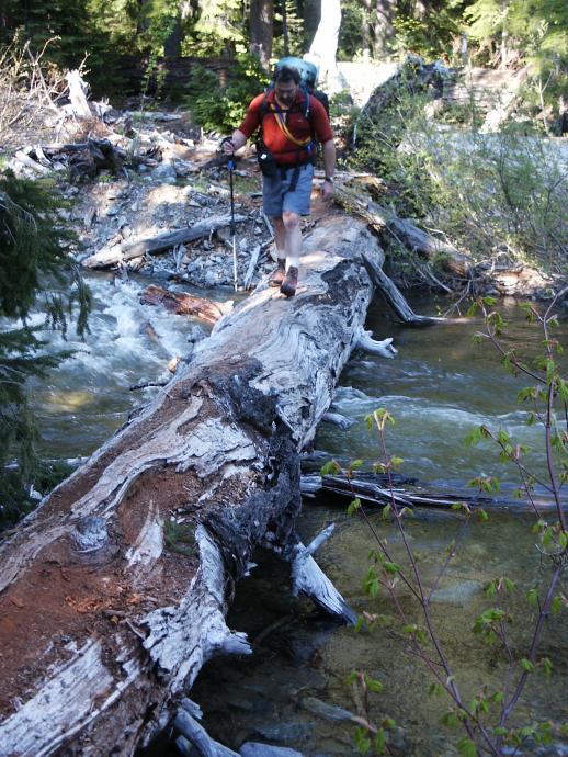
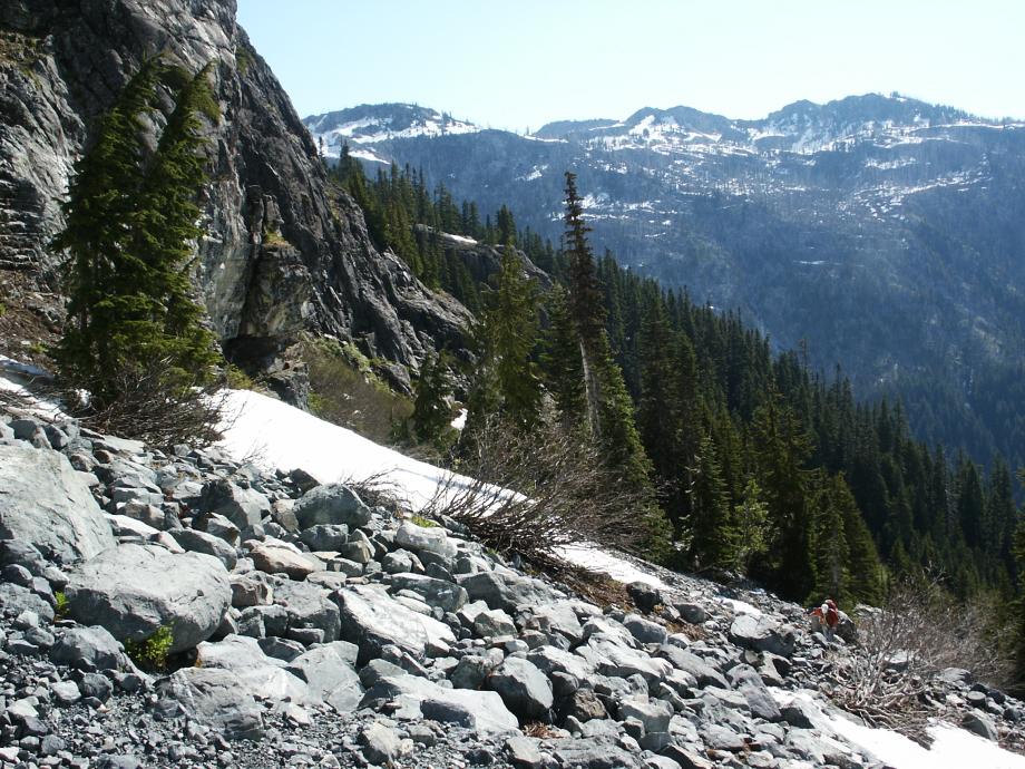
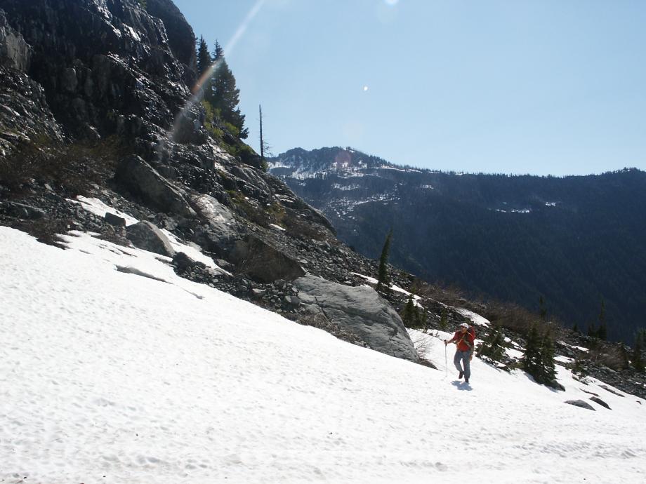
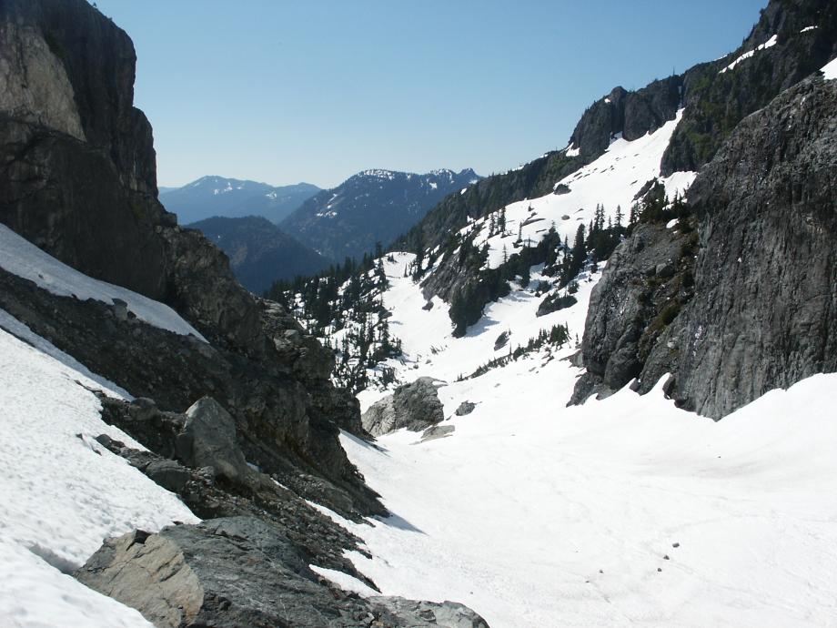
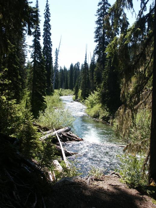
Not much problem getting to and crossing the creek - take the trail to nearly the N edge of the avalanche debris zone, then pick your way down to the creek and locate the crossing log probably just inside the forest edge. Work over the the NW bank, then the fun begins.
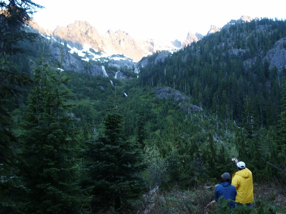
There is a bit more orange flagging now, including one approximately at the start of the climber's path, about 75 yards into the forest and just across the furthest creek branch. This flag is close enough to work, anyway, as well as any other starting point. You will move past the brush at creek edge and up the second ridge in from the edge of the avalanche zone.
About 400 feet up, cross the small ravine to the left (handy log) and continue up the ridge closest to the avy blowdown.
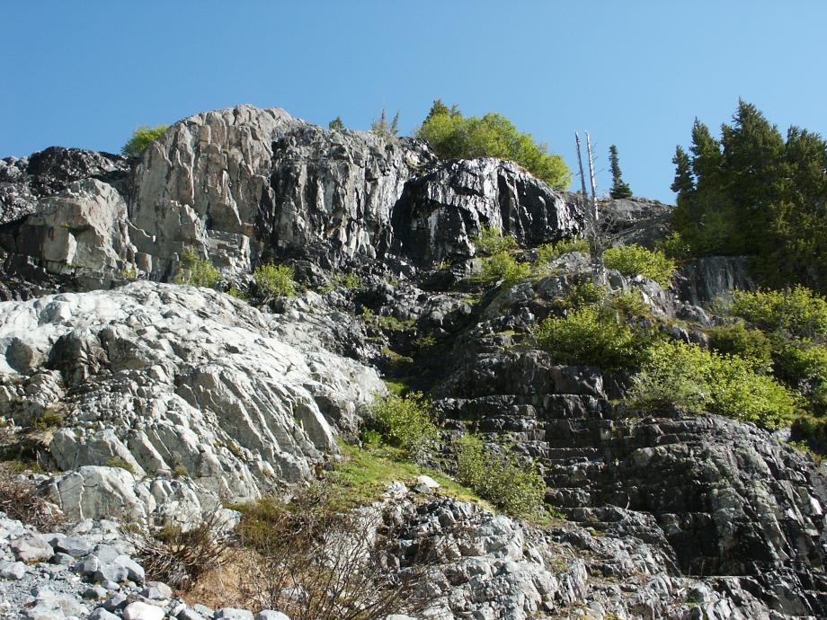
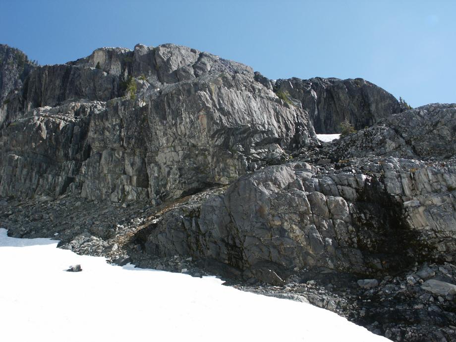
Generally, stay as far left (SW) as possible without 3rd-classing or getting into the avalanche track. You will skirt a large buttress on it's left edge,
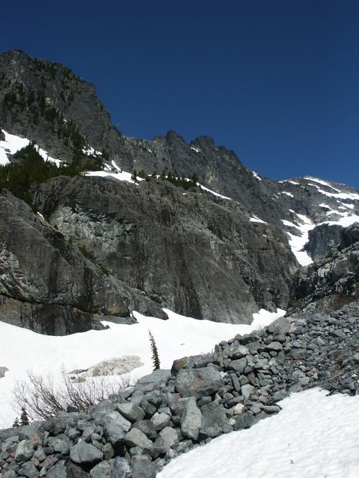
and hit the promontory with the fire ring about mid-height on the upper waterfall (4200 feet). Cross Klenke's "three ravines" (well, two at least). Then when skirting left of another large buttress, about halfway up the buttress watch for a clear traversing track 200 yards left into the strip of slide alder on the hillside.
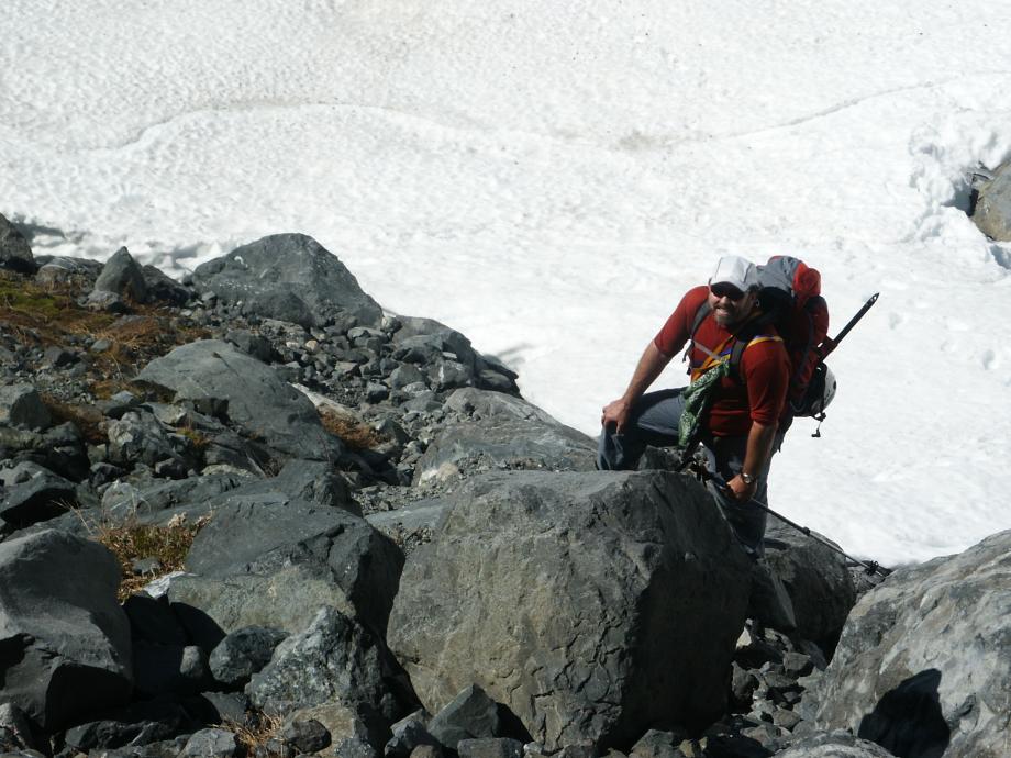
(We were getting really tired of saying buttress!)
The route through the slide alder is well flagged - yes, you are swinging branch-to-branch! Exit the alder and continue on a gently uphill route until you are in the bivvy basin.
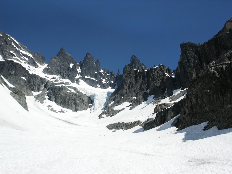
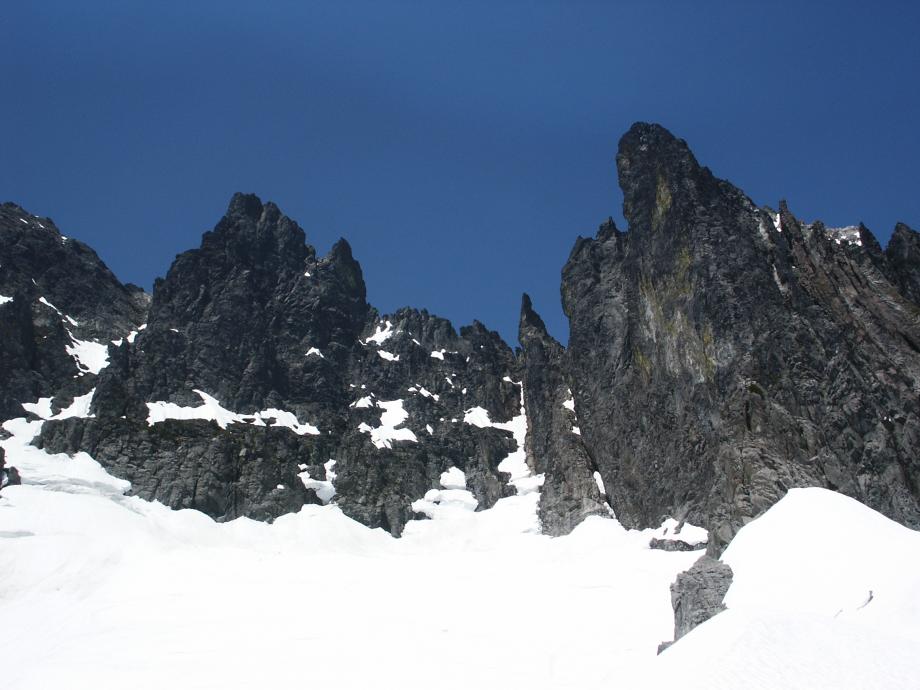
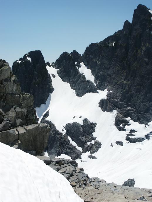
Unless you see more evidence of falling objects, use the left snow gully, as
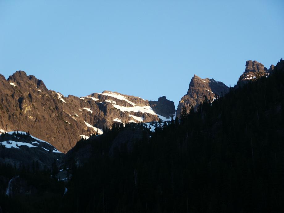
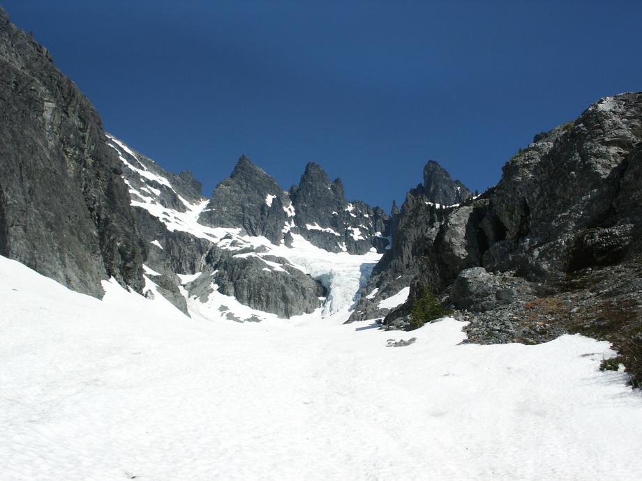
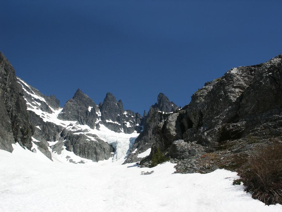
Klenke's "fourth way" of moving right up and around the ridge was very out of the way and no longer seems be a good idea. If you don't skirt the ridge properly, you will be into steep and exposed 4th-classing. I suspect the upper glacier has shrunk some, because we would have had to downclimb steep snow about 400 feet from the saddle below the east peak in order to drop around an extensive crevasse field - after much effort up steep snow to gain the ridge n the first place.
Is a 30-degree crevassed glacier still considered an approach?
Just don't go there.
If the left snow gully seems subject to falling stuff, I'd try Beckey's recommeded middle gully and scramble up the rock just left of the icefall. The glacier above these options looks relatively crevasse-free, but I'd definitely be roped.
After that, you are on your own, or wait until I try it again - June 2011...
Here's the full approach and route in Google Earth. Hints: click a Play button to follow the route, click the map to look around.