


Sue Nelson, Simon Boyd and I took a climbing road trip to Banff July 27-Aug 3 2017. We backed off the Bugs since Sue and I felt like a more laid-back trip, close on the heels of 21 trail miles and 770 feet of gain on Goode in the North Cascades. We achieving one of our two main objectives, Eisenhower Tower, as well as learning a lot about unreliable ratings and bad rock in the Canadian Rockies.
We arrived late morning on Friday, so walked to the back of Lake Louise and did a few sport routes on the immaculate quartizite crag. Poor introduction to what lay ahead...
On Saturday, Sue hadn't sleep well early in the trip, so she took a rest day (7 mile hike!) while Simon and I failed to find the approach path to Mt Louis - went too high and didn't like the exposed scree we got onto. So we walked left and did of South Ridge of the South Peak of Mt Edith instead, at the other end of the ridge! A funky climb, rated 5.4, actually 5.5. The entire 1200 feet of 5.2-5.5 rockclimbing is in one gully, with perfect unprotectable rock on the left, and loose stuff scattered all over the otherwise mostly good holds. All big gear, I'm never leaving my #5 tricam behind again!
We tried the McKay route on Tower of Babel at Moraine Lake, only to bail after two hard pitches by unspoken mutual agreement, as we examined the garbage to start the third pitch. Great lead by Simon on the first pitch, which was actually at least 5.8, not 5.6. Yeah, Sue and I had too-heavy packs, but still there were about 6 consecutive hard overhung moves in a chimney, and Sue was glad for a toprope from me as I paused on the ledge directly above, mid-route.
I had a route-finding fest on the second pitch. Even with perfect route-finding,it was pretty loose and barely easy enough for the 5.7 rating. It would have been really hard and scary if you made a single route mistake. I've never been happier to see a rappel anchor! Simon and Sue still don't believe we were actually on the right route. Don't go there. Two other parties bailed from above (from something) as we were getting started!
Welcome to rock climbing in the Rockies...
Tues-Wed we got a permit to bivvy high on Eisenhower (Shh, I think it was a fluke). This worked great - we started about 7:30AM once the fog lifted and the rock warmed up, summitted at 3:30PM, back to bivvies at 8PM, out to the cars at 10:10PM right at dark, just barely without headlamps! Only downside was a young, strong pair of Canucks from Canmore who did it car to car, only catching us halfway down the raps. As a party of three aging mountaineers, I feel pretty good about that.
I did the whole thing in my approach boots (letting Sue and Simon have a couple of the harder leads), and the trail approach in my Crocks, which are my new secret weapon against blisters on the trail!
The climb was really fun, great movement on mostly great rock up to 5.6 (because we stuck to the crest where the rock was better). Much better rock than Goode! That is, 5.6 except for the crux pitch, in the notch. A guide said it was the "hardest 5.5 in the Rockies, actually 5.8", I'd give it 5.7, because, well, I know I can't climb 5.8 in boots! Great hand jams (perhaps the guide wasn't a crack climber?), and fun big stem and mantle at the top. Nice lead Simon! Contrary to Beckey's topo, the crux is actually on the Dragon's Back, 50 feet from it's end where you walk over to start the main tower climb. Part of why Beckey's topo was a bit confusing in the lower section. Revised topo coming...
Definitely avoid the left upper route option except for the raps, as it's very loose - the Canucks insisted on rapping right behind us and raining rocks on us, one of which hit Sue's pinky and cut it badly. We hope it' not a break, Sue doesn't even want to spend money on a dr. to find out and have them do nothing...
Recent retro-bolting meant we could do the whole thing with our two 35M half ropes and only a couple of careful short extra downclimbs. Descent wasn't bad, with a few minutes hunting for the "hole" - step descender's right over a small ridge, don't drop left onto the dead-end terrace!
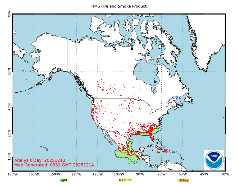
Tons of fires in BC. We had smoke off and on, pretty heavy the evening the drove out. Here's a satellite imagery link that the fire people use to analyze where they are:
http://www.ospo.noaa.gov/Products/land/hms.html
Most were in the Coast Range, but you can see the one we saw about 10 miles to the south in Kootenay as we drove out after the climb, and one that looks to be near Golden, just north of the Bugs.


